Networking Fridays
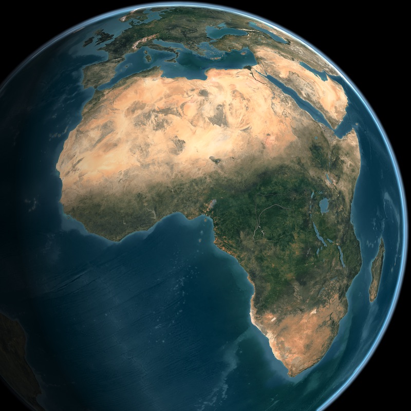
Networking Friday Thematic Special Session on African Marine and Coastal Operational Services
Date
October 30, 2020, 1:00 PM - 3:00 PM UTC
AIR Centre Networking Fridays
More information about the Webinar series hereWatch the Recording
Watch on YouTube ↗Download Presentations
- Marine & Coastal Areas Management in Western Africa
- Developing an Earth Observation Operational Application for Coastal Ecosystems Mapping, Monitoring and Assessment of the Northern African Coastal Zone – NAfCoast
- GMES & Africa Marine and Coastal Management Service Usage in Eastern Africa
- Oceans and Coastal Management Information System
- Impact Through Marine and Coastal Operations for Southern Africa
- Application of EO services in South African small-scale fisheries
On October 30th, 2020, 1-3 PM UTC, we had a Thematic Special Session on African Marine & Coastal Operational Services: examples from around the continent. This Networking Friday session focused on pan-continental African marine initiatives using EO data, technologies and services in support of African sustainable development. In the marine and coastal domains, the GMES-Africa initiative provides four consortia around the continent that are developing and implementing a variety of services, including the provision of oceanographic products, fisheries and aquaculture support, coastal ecosystem monitoring and maritime security. As a joint initiative between the African and European Unions, there is strong emphasis on realising value from the data, information, expertise and know-how offered by the Copernicus programme. The South African National Oceans and Coastal Information Management System was also presented
The session discussed a variety of earth-observation based services from around the continent – services that focus on providing actionable information in the marine and coastal domain to variety of stakeholders. These services, whilst all focusing on providing knowledge-based decision making tools, have different regional priorities and approaches to user co-design and service delivery. The session also included a substantial guided Q&A session to further gather user perspectives and needs.
Agenda:
- 1:00 PM UTC - Welcome address and introductions (Stewart Bernard, SANSA)
- 1:05 PM UTC - Short Introduction to GMES-Africa (Tidiane Ouattara, AUC)
- 1:15 PM UTC - Marine and Coastal Areas Management in western Africa, Regional Marine Centre, University of Ghana (Kwame Agyekum, UG)
- 1:30 PM UTC - Earth Observation Operational Applications the Northern African Coastal Zone, National Authority for Remote Sensing and Space Science (Islam Abou El-Magd, NARSS)
- 1:45 PM UTC - Marine and Coastal Management in the East Africa Region, Mauritius Oceanography Institute (Oomarsing Gooroochurn, MOI)
- 2:00 PM UTC - National Oceans and Coastal Information Management System (OCIMS), Department of Environment, Forestry and Fisheries (Marjolaine Krug, DEFF)
- 2:15 PM UTC - GMES-Africa Marine and Coastal Service Development for Southern Africa (MarCoSouth), Council for Scientific and Industrial Research (Bolelang Sibolla, CSIR)
- 2:25 PM UTC - Application of EO services in South African small-scale fisheries, ABALOBI (Greg Duggan, ABALOBI)
- 2:35 PM UTC - Q&A and user needs / audience response survey (Stewart Bernard, SANSA)
- 3:00 PM UTC - Closing remarks (Stewart Bernard, SANSA)
Speakers
Tidiane Ouattara
Short Introduction to GMES-Africa Tidiane Ouattara received a master’s degree in physical geography from Université de Cocody-Abidjan (Côte-d’Ivoire). In 1996, Dr. Ouattara obtained a master’s degree and in 2001 a PhD, both in Remote Sensing and Geographical Information System (GIS) from Sherbrooke University (Canada). Dr. Ouattara is currently Space Science Expert and Coordinator for GMES & Africa Programme. He has gained tremendous experience in international relations and business development, research and development (R&D), strategic policy development and program management issues related to environment, natural resources, and sciences and technology. Indeed Dr. Ouattara began his career in Canada as lecturer at Sherbrooke University from 1996 to 2001. He taught not only scientific courses, but also African geopolitics and sociocultural issues. After a brief stay with the private sector in Montreal, in 2002 Dr. Ouattara started working with the federal government of Canada. He successively occupied various positions:- At the Canadian Space Agency (2004-2006): International Relations Manager in charge of Africa, Central and South America and United Nations. He was also covering Earth Observation, Navigation and Positioning, Robotics and Space Sciences portfolios; Head of Canadian Delegation at the United Nations Committee on the Peaceful Uses of Outer Space (UNCOPUOS).
- At the Department of Natural Resources Canada (2002-2004 and 2006-2010): Senior Science and Policy Advisor for the Assistant Deputy Minister, the Chief Scientist and, Head of knowledge management, bilateral and multilateral strategies Unit; Manager of Canadian Digital Elevation Model Programme and, Researcher and International Relations officer in geomatics (earth observation, mapping, GPS and Geographical Information System).
- At the Department of Environment Canada (2010-2016): Manager, Geospatial Data Management Section, Canadian Wildlife Service; Head, Landscape and Ecosystem Assessment Planning and Coordination Section, Canadian Wildlife Service
- At the African Union Commission (2016-Present): Space Science Expert in charge of the development and implementation of the African Outer Space Programme; Coordinator for the Global Monitoring for Environment and Security (GMES & Africa) Programme.
Kwame Agyekum
Supporting fisheries management using EO data in western Africa Kwame Agyekum has keen interest in using marine EO data for fisheries management as well as in maritime security and safety. His work at the University of Ghana largely focuses on developing coastal and marine services to support monitoring, control and surveillance activities of coastal states in western Africa to curb IUU fishing using various in-situ, modelled and space-borne information such as fishing vessel traffic information from Automatic Identification System (AIS), ocean colour and other remote sensing data, and forecast products from Mercator Ocean to develop potential fishing zone maps to support fisheries management activities in West Africa. His presentation will confirm the huge societal benefits EO applications provide for the management of fisheries resources for both artisanal and industrial fisheries sector in terms of the conservation of marine living resources, promoting a healthy marine ecosystem and ensuring safety at sea.
Islam Abou El-Magd
Developing an Earth Observation Operational Application for Coastal Ecosystems Mapping, Monitoring and Assessment of the Northern African Coastal Zone – NAfCoast NAfcoast project is funded from the EC, AUC and GMES and Africa Program to implement EO observation and services of coastal and marine in north Africa. It is a partnership between 4 countries and enabled to leverage EO capacity and provide valuable information to the society. Two main services are generated from NAfcoast: The first service is monitoring Oil Spills pollution in Red Sea, Mediterranean Sea and Atlantic Ocean in the economic marine environment of the consortia countries. Radar data from Sentinel 1 satellite is used to operably monitor such oil spill and spot the proposed source of pollution. Stakeholders of Environment Agency are get benefited from this service and started to rely on NAfcoast to provide such information. The second service is mapping the potential fishing zones in the economic marine water of the consortia countries suing MODIS data, and Sentinel 3 satellite. This service is generated on daily basis and averaged to weekly and monthly to support fisheries institutions and provide information to fishermen. Islam Abou El-Magd is a full Professor working for the National Authority for Remote Sensing and Space Sciences and chairing the Environmental Studies Department. Dr. Abou El-Magd research area of interest is remote sensing and GIS modelling in environmental related issues. Dr. Abou El-Magd has obtained his PhD from the School of Civil Engineering and The Environment, University of Southampton, UK where he also worked there for few years. Currently, he is managing few research projects that are directly functioning remotely sensed data to study the environmental pollution, coastal zone management and climate changes. He is also teaching both undergraduate and postgraduate courses in remote sensing and its environmental applications, within Egyptian universities and others within the region. Prof. Abou El-Magd has a wide network since he worked as a consultant for the FAO (Food and Agriculture Organization), UN, Centre of Environment and Development for Arab Region and Europe (CEDARE), Arab League, and the World Health Organization (WHO), UN. Dr. Abou El-Magd is acting as the general secretary of the national space council of Egypt and he is also a member in other international societies such as the Royal Geographical Society and he is well as the focal point of the African-European partnership in space technology and remote sensing applications. He was a Co-Chair of the Implementation Plan Working Group for GEO to develop the 2016-2025 strategic implementation plan for GEO. He is the Vice-President of the AARSE (African Association for Remote Sensing and the Environment) that foster networking among African experts and professional in EO as well as the use of EO in research and education. Prof. Abou El-Magd was the principal investigator for some internationally funded projects from the EU, for example the FP7 funded project "BRAGMA" that was enrolled to bridge actions for the implementation of GEMS and Africa initiative. Other funded projects on bilateral agreement such as Egypt-South Africa science fund project on air quality modelling. He is awarded a GMES and Africa fund for regional project for North Africa to operate earth observation data for northern African coastal ecosystem mapping. He is also a partner in Geocradle project “Coordinating and integRating state-of-the-art Earth Observation Activities in the regions of North Africa, Middle East, and Balkans and Developing Links with GEO related initiatives towards GEOSS – Coordinated by NOA Greece”. Prof. Abou El-Magd has distinctive publications in international peer reviewed journals and he is a peer reviewer to some international and regional journals such as the international journal of remote sensing, remote sensing of the environmental, international journal of digital earth and the Journal of Coastal research. Prof. Abou El-Magd is responsible of the international relations in the national authority for remote sensing and space sciences taken care of all international agreements and memorandum of understanding. Prof Abou El-Magd is a member of the National Space Council of Egypt since 2010 and he is currently the general secretary of the council since 2015. He was member of the African Space Working Group that developed the African Space policy and strategy. He was also member of the International Group on Earth Implementation Plan Working Group that developed the GEO strategy for 2016-2025.
Oomarsing Gooroochurn
GMES & Africa Marine and Coastal Management Service Usage in Eastern Africa The presentation highlights the different applications that are implemented by the Mauritius Oceanography Institute Consortium for the East Africa region and focuses on three cases where Earth Observation data is used for decision making to the benefit of different communities. These include the identification of Potential Fishing grounds in Tanzania, the tracking of oil spill in Mauritius using forecast data and finally the prediction of Harmful Algal Blooms in the South of Madagascar. Oomarsing Gooroochurn is an Associate Research Scientist at the Mauritius Oceanography Institute (MOI) specialising in coastal and ocean management. He has been involved in previous regional EU funded projects such as African Monitoring of the Environment for Sustainable Development (AMESD) and Monitoring for Environment and Security in Africa(MESA). Mr Gooroochurn is currently part of the Physical /Satellite Oceanography Unit of the MOI and is one of the thematic experts working on the GMES & Africa Marine and Coastal Management in the East Africa Region. His research interests encompass: Marine Renewable Energy; GIS / Remote Sensing; Satellite Oceanography; Marine Spatial Planning; and Ocean Governance and Management. More information about Oomarsing Gooroochurn's work is available on Facebook or Twitter.
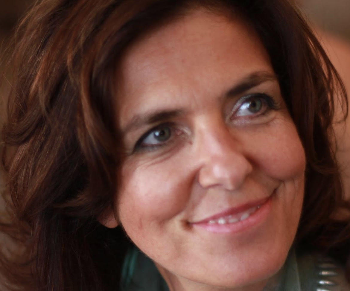
Marjolaine Krug
Oceans and Coastal Management Information System Marjolaine Krug holds a PhD in physical oceanography from the University of Cape Town. Her current research focuses on the dynamics and variability of the Agulhas Current as well as interactions between the Agulhas Current and the coastal and shelf regions. She has worked with satellite remote sensing data such as altimetry, sea surface temperature or surface current information derived from synthetic aperture radars. Dr. Krug led the first deployment of ocean gliders in the Agulhas Current region as part of the Shelf Agulhas Glider Experiment in April 2015 which was later followed with several glider deployments experiments as part of GINA (Gliders In the Agulhas) between 2017, 2018 and 2019. Dr Krug is currently leading the Oceans and Coast Information Management System (OCIMS), a program aimed at providing decision support towards better ocean governance and the development of the blue economy which is led by the South African government. Dr. Krug currently serves on the Ocean Observations Physics and Climate Panel (OOPC) of the Global Ocean Observing System (GOOS) and leads the OOPC Boundary System Task Team. She is also a member of the Ocean Gliders Boundary Current task team. Dr Krug is a research associated at the University of Cape Town (UCT) and is affiliated with the Nansen-Tutu Centre for Marine Environmental Research.
Bolelang Sibolla
Impact Through Marine and Coastal Operations for Southern Africa Bolelang Sibolla is a researcher in the Spatial Information Systems research group at the Council for Scientific and Industrial Research (CSIR) South Africa. She studied for her BSc and MSc Engineering in Geomatics at the University of Cape Town. She has submitted her PHD titled “Developing a framework for visual analytics for real time streamed sensor observations” at the University of Pretoria. She is currently conducting research into innovative geo spatiotemporal analysis and development of bespoke geospatial decision support tools with specific focus on big geospatial data. Her specialty lies in the development of spatial data infrastructures for big earth observation data, Geovisual Analytics and Geovisualisation. Over the last ten years, she has worked on several high impact international projects including EU, AU funded initiatives as well as high impact national initiatives for public health, environmental management, and disaster management. She contributes to human capital development and knowledge creation through international journal reviews and academic engagements at institutions of higher education. More information about the MarCoSouth project here.
Greg Duggan
Application of EO services in South African small-scale fisheries Greg Duggan is the Strategic Development Lead for ABALOBI ICT4Fisheries. With an interdisciplinary background in environmental anthropology and biological sciences, he has spent the past 12 years working in South Africa's coastal small-scale fisheries to understand the challenges on the ground, and work with local people to address these in meaningful, bottom-up ways. Greg will give a brief overview of his collaborative project with the CSIR and small-scale fishers along South Africa's West and South coasts to provide useful forecasting and EO data to assist the fishers.Moderator