Networking Fridays
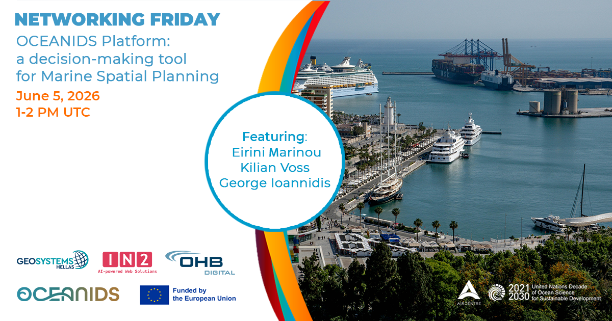
Networking Friday: OCEANIDS Platform: a decision-making tool for Marine Spatial Planning
Date
June 5, 2026
AIR Centre Networking Fridays
More information about the Webinar series hereWatch the Recording
Watch on YouTube ↗
This Networking Friday presents the Decision Support Platform developed the Horizon Europe project OCEANIDS.
Formed by 27 institutions, from 11 countries, OCEANIDS aims to develop Citizen-driven tools and applications that enable a more resilient and inclusive society in coastal regions via better-informed and integrated seascape management. The central concept is to collect, harmonize, and curate existing and openly available climate data services, making data accessible, reusable, and interoperable for developing local adaptation strategies. These tools focus on Climate-Informed Maritime Spatial Planning and integrated seascape management, all aiming to contribute to a more resilient and inclusive Blue Economy.
Program (PM/UTC):
01:00-01:05 - Welcome remarks and introduction by Eirini Marinou, Geosystems Hellas 01:05-01:25 - Earth Observation as core driver of the Spatial Platform, Kilian Vos, OHB Digital 01:25-01:35 - Introducing the OCEANIDS Decision Support Platform, Eirini Marinou, Geosystems Hellas 01:35-01:45 - Ephemeral Social Networks, why it matters? George Ioannidis, IN2 Digital Innovations 01:45-02:00 - Q&A, moderated by Eirini Marinou, Geosystems Hellas 02:00-02:05 - Closing remarksSpeaker & moderator
Eirini Marinou Geosystems Hellas
Eirini is an MSc Geophysicist with Earth and Planetary Sciences expertise. She holds a BSc in Geology and Geo-environment from the National and Kapodistrian University of Athens and an MSc in Earth Structure and Dynamics from Utrecht University, specializing in the Physics of Deep Earth and Planets. Her passion for space and technology has driven her work as the Project Manager and Head of EU tenders at Geosystems Hellas since 2022, where she oversees projects in Horizon 2020/2022, RISE, and National programs.Speakers
Killian Voss OHB Digital
Earth Observation Data Scientist working on projects in Earth Observation and Machine Learning. He uses big data cloud computing (Google Cloud Platform/Google Earth Engine) to extract useful features from time-series of publicly available satellite imagery and build near real-time monitoring applications. He also uses image processing and machine learning to solve to complex problems, create cloud-native automated pipelines and deliver webGIS apps to visualise spatio-temporal data (Django, Leaflet, PostgreSQL/PostGIS). In the OCEANIDS project, he works on integrated solutions for smart coastal and port management, leveraging remote sensing and data analytics.