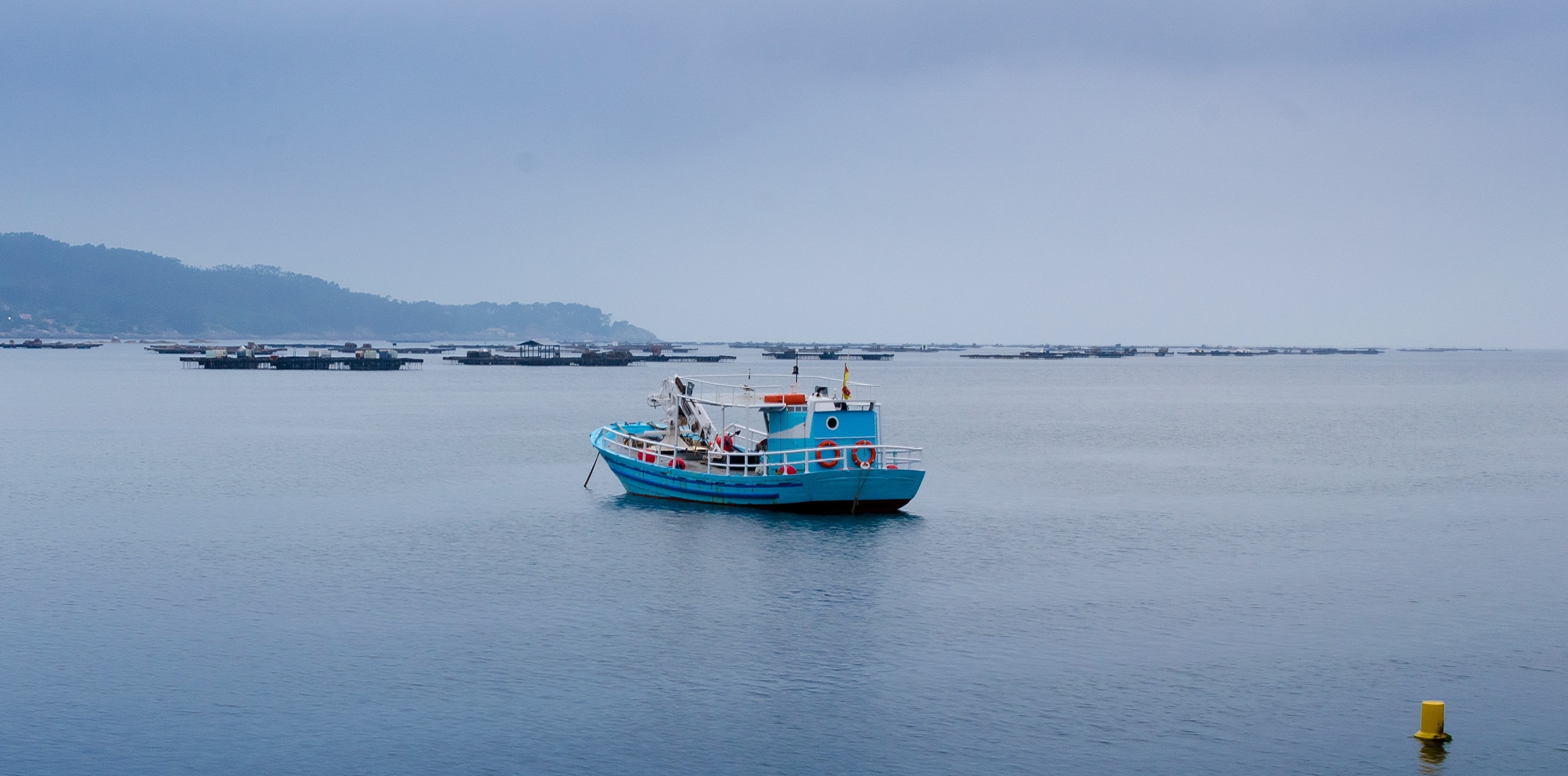
User-driven applications and tools for Climate-Informed Maritime Spatial Planning and Integrated Seascape Management
OCEANIDS stands for creating tools and applications driven by users. These tools focus on Climate-Informed Maritime Spatial Planning and integrated seascape management, all aiming to contribute to a resilient and inclusive Blue Economy. The overall project objective is to develop the tools and appli...
PROJECT DESCRIPTION
The overall project objective is to develop the tools and applications that enable a more resilient and inclusive society in coastal regions via better-informed and integrated seascape management.
The central concept is to collect, harmonize, and curate existing climate data services, making data accessible, reusable, and interoperable for developing local adaptation strategies.
| Acronym: | OCEANIDS |
| Title: | User-driven applications and tools for Climate-Informed Maritime Spatial Planning and integrated seascape management, towards a resilient & inclusive Blue Economy |
| Start-End: | December 2023 - July 2026 |
For more information please access this link.
| Acronym | OCEANIDS |
| Title | User-driven applications and tools for Climate-Informed Maritime Spatial Planning and Integrated Seascape Management |